Introduction
Thousands of satellites and airborne platforms photograph the Earth around the clock, generating terabytes of imagery every day. Yet pictures on their own reveal little; it is the processing applied afterward that converts them into information people can act on across climate work, farming, disaster relief, and city planning. Techniques ranging from super-resolution to geospatial artificial intelligence are reshaping the way the planet is observed and managed.
Remote Sensing in Climate Monitoring and Agriculture
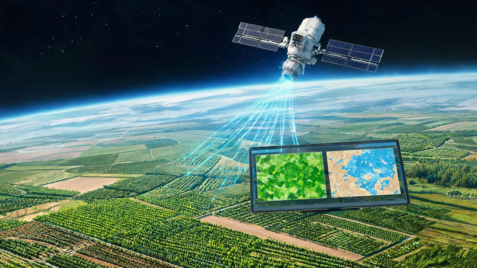
Satellite and aerial imagery underpin remote sensing, which tracks climate variables and supports precision farming. Multispectral and thermal sensors record surface temperature, vegetation condition, and carbon stocks. Drought early-warning systems draw on such data to forecast shortages, and crop yield models reach accuracy above 90% in many regions.
In precision agriculture, processed imagery guides variable-rate irrigation, fertilizer placement, and pest detection. Case studies report water savings of 20–30% alongside yield gains of 10–15%. When linked with IoT sensors and farm equipment, the data allows adjustments in real time, helping farms operate more efficiently and sustainably.
Detecting Change and Responding to Disasters
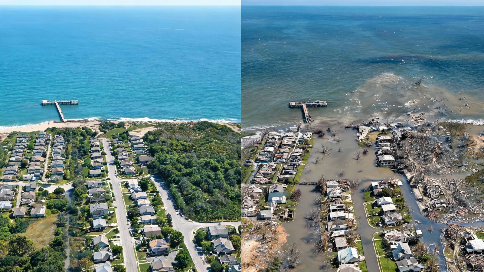
By comparing satellite images captured over time, change detection pinpoints deforestation, urban sprawl, and the extent of flooding. Near-real-time flood mapping shortens response times by hours, which can protect lives and property. Automated algorithms set before-and-after scenes against each other to flag differences and inform fast decisions.
Following events such as earthquakes, hurricanes, and wildfires, assessing damage and tracking recovery become urgent tasks. Satellite imagery helps evaluate harm to infrastructure and coordinate emergency efforts. Working with organizations such as FEMA and the Red Cross improves how resources are allocated and how recovery proceeds.
Super-Resolution for High-Resolution Satellite Imagery
Urban planning and climate monitoring both suffer when imagery lacks detail. Super-resolution methods raise spatial resolution and expose finer features. Deep learning approaches including SRCNN and GANs enhance image quality, and metrics such as PSNR and SSIM indicate substantial improvement.
Sharper imagery supports infrastructure mapping, allowing buildings and roads to be identified precisely. Case studies show greater accuracy when mapping informal settlements and tracking environmental change. Super-resolution narrows the distance between what sensors can capture and what users need.
Geospatial AI and the Planning of Cities
Geospatial AI extracts building footprints, road networks, and land-use classes from satellite imagery automatically. Models such as U-Net and Mask R-CNN reach high accuracy and outperform manual methods. The results feed urban growth modeling, infrastructure planning, and sustainability assessment.
Smart-city programs pair AI-driven processing with GIS and digital twins to test scenarios and allocate resources more effectively. Case studies from Singapore and Amsterdam report better energy efficiency and less congestion. Geospatial AI thus supports decisions grounded in data for urban development that is both resilient and sustainable.
Conclusion
Processing satellite and aerial imagery is changing how climate is monitored, how disasters are answered, how resolution is improved, and how cities are planned. By delivering timely and accurate insight, these technologies help address global challenges. Integrated AI, real-time processing, and new satellite constellations point toward a future that is more resilient and more sustainable.